
16 Days
Daily Tour
10 people
___
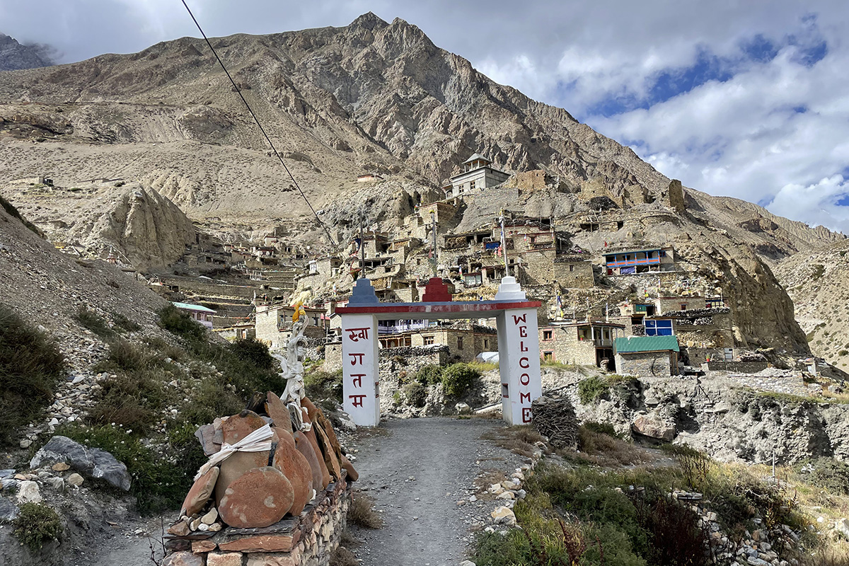
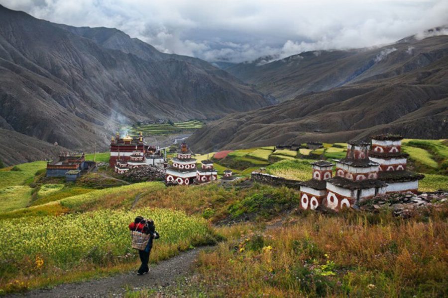
The Nar Phu Valley stayed closed to outside visitors until 2003, making it one of the newest restricted regions to open in Nepal and one of the least visited even today. This journey climbs to 5,322 meters at Kang La Pass, crossing from a narrow river gorge into a high-altitude desert shaped by the rain shadow of the Annapurna Massif. Along the way, the trail passes through Phu village, where stone houses stack vertically against steep cliffs like a fortress seen from below.
This itinerary is built around two dedicated acclimatization days at Phu Gaon and Nar Village, with daily health monitoring from a licensed guide tracking your progress using a pulse oximeter throughout the journey. A side trip to Tashi Lhakhang Gompa, a centuries-old monastery in Phu village, adds real cultural depth while doubling as useful acclimatization time.
Since this region carries restricted area status near the Tibetan border, a licensed guide is legally mandatory at all times, and permit requirements keep annual visitor numbers genuinely low. Nar village once served as a trading hub between Nepal and Tibet, with yaks still carrying goods across the same passes their ancestors used generations ago.
The route begins at Koto, entering the narrow Nar Phu Gorge where canyon walls rise hundreds of meters on either side of the river. Suspension bridges carry the trail across the water repeatedly before the valley finally opens near Phu Gaon, revealing the high desert terrain that defines the upper region.
From Phu, the trail descends briefly to Nar Phedi before climbing back up to Nar Village, a more open settlement with yak pastures and Buddhist chortens scattered throughout. Kang La Phedi serves as the final staging point before the early morning push to Kang La Pass itself.
Beyond the pass, the trail descends sharply to Ngawal, rejoining the main Annapurna Circuit route before continuing through Manang and Chame on the return journey to Kathmandu.
Your journey begins the moment you step off the plane at Tribhuvan International Airport, where the Kalapatthar team greets you and transfers you by private vehicle to your five-star hotel in the heart of Thamel. That evening brings a welcome dinner where you meet your guide for the first time, followed by a full trek briefing covering permits, safety protocols, and a careful review of your gear checklist.
This day is set aside for permit processing, gear checks, and any final equipment purchases in Thamel before the trek departs. Kalapatthar handles ACAP and Restricted Area Permit processing at the relevant government offices, and an optional afternoon opens up for guided visits to Boudhanath Stupa, Pashupatinath Temple, or Swayambhunath.
A private jeep carries you out of Kathmandu along the Prithvi Highway, following the Trishuli River through terraced hillsides and small towns before reaching Besisahar, the administrative headquarters of Lamjung District.
The road narrows and roughens as the jeep follows the Marsyangdi River valley through Tal, Dharapani, and Chame before reaching Koto, the official entry point into the Nar Phu restricted zone.
The trail leaves Koto and enters the narrow Nar Phu Gorge, crossing the roaring river on suspension bridges again and again as canyon walls rise hundreds of meters on either side.
The trail climbs steadily through high-altitude desert terrain, passing the small settlement of Chyaku before Phu Gaon comes into view, its stone houses stacked vertically against the cliffs like a fortress.
This rest day matters more than it might seem, giving your body real time to adjust before the push toward Nar Village and Kang La Pass. A morning health check and altitude lecture lead into a visit to Tashi Lhakhang Gompa, followed by a hike up to the valley viewpoint above the village.
The trail descends from Phu Gaon back down the valley on a rocky, sometimes steep path, reaching Nar Phedi at the base of tomorrow's climb to Nar Village.
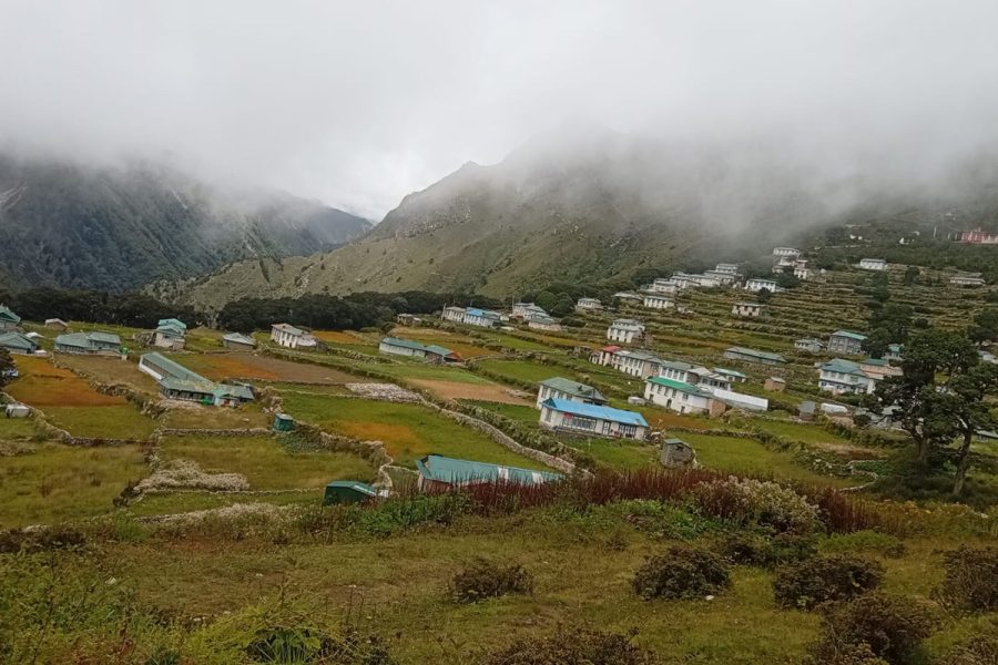
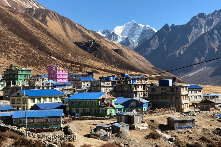
A short but steep ascent carries you up to Nar Village, a more open settlement than Phu, with traditional stone houses, yak pastures, and prayer flags marking its long history as a trading hub with Tibet.
A second acclimatization day gives your body the time it needs before crossing Kang La Pass in two days. An optional hike up the ridge above the village delivers wide views of Kang Guru and Himlung Himal.
The trail climbs steadily through alpine pastures and rocky moraine toward the base of Kang La Pass, reaching Kang La Phedi, a basic camp with simple stone huts and no running water.
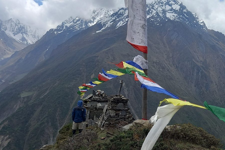
A 4 AM start sets the stage for the steepest climb of the entire trek, ascending a rocky switchback path to Kang La Pass, marked by prayer flags and stone cairns at the highest point of the journey. The descent that follows drops over 1,600 meters to Ngawal on the Annapurna Circuit trail.
A short day carries you from Ngawal down to Manang through pine forest and traditional Manangi villages, arriving at the largest settlement in the upper Manang region.
The trail descends through pine and juniper forest along the Marsyangdi River, passing Pisang, Bhratang, and Dhukur Pokhari with views of Annapurna II and Pisang Peak along the way.
A private jeep retraces the rough road along the Marsyangdi River valley, carrying you back down to Besisahar for your final night before the return to Kathmandu.
The final drive follows the Prithvi Highway back through terraced hillsides to Kathmandu, closing out a journey through one of Nepal's most remote and culturally rich valleys.
This Kalapatthar package runs for 16 days total, covering arrival, preparation, the drive days, the trekking section, and your return to Kathmandu.
The trek is rated strenuous, with daily walking of 4 to 7 hours and a maximum altitude of 5,322 meters at Kang La Pass, requiring prior high-altitude experience.
Prior high-altitude trekking experience above 4,500 meters is strongly recommended, given the remote location and limited evacuation options along this route.
Kang La Pass at 5,322 meters is the highest point, with Phu Gaon at 4,080 meters and Nar Village at 4,110 meters as the overnight high-altitude stops.
Yes, altitude sickness becomes a genuine risk above 4,000 meters, and this trek reaches 5,322 meters. Guides run twice-daily health checks and follow strict descent protocols if symptoms appear.
Two permits are required: the Restricted Area Permit at USD 90 for the first seven days, plus USD 15 per additional day, and the Annapurna Conservation Area Permit at NPR 3,000.
Yes, a licensed guide is legally required, since the Nar Phu region carries restricted area status near the Tibetan border.
Accommodation runs as teahouses and basic stone huts throughout, with facilities becoming genuinely basic above Meta, including no attached bathrooms at Kang La Phedi.
Dal bhat, fried rice, noodle soups, and Tibetan bread remain available at teahouses from Koto through Ngawal, with unlimited tea and coffee included throughout.
Yes, comprehensive travel insurance covering high-altitude trekking above 5,500 meters and emergency helicopter evacuation is mandatory before departure.
Wi-Fi is not available in Nar and Phu villages given how remote they are, and mobile coverage works only intermittently up to Meta before disappearing entirely.
Blue sheep appear regularly on the rocky slopes near Nar and Phu villages, while snow leopards are documented in the region but very rarely sighted on the main trail.
This trek is not recommended for beginners, given the altitude, remote location, and strenuous daily walking requirements throughout the route.
Booking three to four months ahead is strongly recommended for spring and autumn departures, when permits and teahouses need to be arranged well in advance.
Hot showers are available only up to Koto before the trek begins, with no hot shower access at Meta, Phu, Nar, or Kang La Phedi.
Contact Kalapatthar Pvt. Ltd. directly with your preferred travel dates and group size to receive a personalized quote and full pre-departure support.

Member Since 2026
Leave a review